About AVA
Air Vantage Access (AVA) delivers cutting-edge drone data solutions using precision reality capture and advanced 3D modelling. Our services empower industries to streamline operations and enhance maintenance strategies, resulting in efficiency, better safety outcomes and cost savings. By leveraging high-precision aerial data, we provide comprehensive insights that enable more efficient asset management, infrastructure inspection, and project planning.
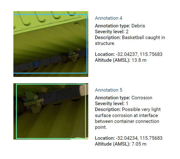
AVA works closely with clients to understand their projects’ unique challenges and create working solutions that AVA has the cabability to execute. Whether it’s large-scale mapping, detailed 3D modelling, inspection reports or real-time data integration, Air Vantage Access is your partner in transforming complex data into actionable results.

Why choose AVA?
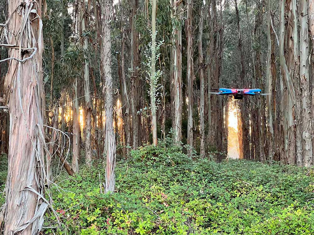
Reality capture technology is rapidly evolving, with new products coming to market continuously. AVA uses the very latest and best specialised drone equipment and data processing technology, resulting in accurate and reliable insights for our clients’ asset operations and maintenance needs. Our high-resolution outputs offer an improved perspective on infrastructure enabling better decision-making, reduced downtime and real-time visual insights – all available at the desktop.
Our pilots are industry experienced, allowing AVA to capture the detailed information needed for effective project management. Could you be benefiting from our unique understanding of aerial survey and technical solutions? We have a strong background in traditional access methods, making us leaders in capturing the data required to inspect, plan, maintain, repair and visualise your asset.

Applications
Our capabilities support a vast array of applications across key Western Australian industries. Photogrammetry and visual inspections in optimal resolution are particularly useful for:
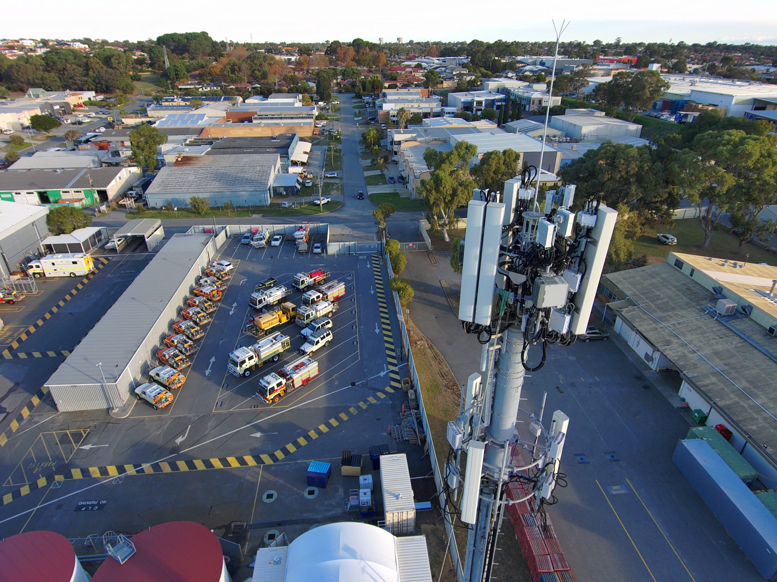
- infrastructure and telecommunications
- construction planning and tracking
- stockpile and volume assessment
- architecture and property management
- local government asset management
- environmental survey and assessment
- agribusiness survey and assessment.
hardware solutions
Air Vantage Access Pty Ltd | Fremantle, Western Australia | Director: Tim Evans
consult@airvantageaccess.com.au


